Cruising on Last Dance


This blog archives the adventures of Glen and Jill Moore and provides a means of communication for friends and family. Exploration and adventure have been synonymous with boats and water for centuries. The joy of adventures shared while exploring new places and meeting new people has built a strong bond for Glen and Jill. Last Dance is the platform for the exploration.

"The world is a book, and those who do not travel read only a page." St. Augustine, 354 - 430

“Twenty years from now you will be more disappointed by the things that you didn't do than by the ones you did do. So throw off the bowlines. Sail away from the safe harbor. Catch the trade winds in your sails. Explore. Dream. Discover.” Mark Twain, 1835 - 1910

"There is nothing -- absolutely nothing -- half so much worth doing as simply messing around in boats." The Wind in the Willows, 1908, Kenneth Grahame, 1859 - 1932

"I've never believed speed and ease are conductive to living fully, becoming aware, or deepening memory, a tripod of urges to stabilize and lend meaning to life." River Horse: a log book of a boat across America, 1999, William Least Heat-Moon,1939 -

The Great Loop -- The current adventure is a circumnavigation of the Eastern United States, cruising north up the east coast through New York into Canada, across the Great Lakes to Chicago, navigating multiple river systems south to Mobile, along the Gulf coast to the Florida Keys and back to St. Augustine. This trip by boat is commonly referred to as the Great Loop. Progress and current location are indicated by the red line on the map to the right. It was titled the Traceless Path in recognition of a German sailor we met in St. Augustine who published booklets of his travels with hand-drawn, detailed maps describing his travels across the water as the Traceless Path.


Tuesday, March 29, 2011

Added Bonus

The alarm sounded at 7:00 am.  Jill sat up in bed and squealed, “Look!  Look!”  Out the ports on the starboard side we could see ½ inch of snow on the toe rail and little grains of snow floating down.  “This is an added bonus,” she said, excitedly.

We dressed warmly and ventured outside.  It was not a surprise, the weather services we check to prepare for cruising each day had all predicted snow overnight into the morning.  The little grains of snow soon became large flakes floating down in gentle swings.  Over an inch of snow built up on the decks of the boat, which is probably a first for the Florida boat Last Dance, and it was the first time Jill had ever seen snow falling.

Photos were shot, snowballs thrown, and the beauty of a quiet snowfall was enjoyed.  The soft snow must absorb sound as it was almost completely silent.  The surroundings took on a different appearance as all the roofs were now white. 

On a journey anticipating many adventures and new experiences, snow was not one of the anticipated.  But, then, if only the anticipated happen, it would not be much of an adventure.  Snow in Colonial Beach, VA, was surely not an event expected.

View From Galley Window
Last Dance at Nightingale's Dock

Jill Enjoying the Added Bonus

View Across Monroe Bay

Underway with Snow on Deck and Flybridge Windows


Saturday, March 26, 2011

The Boat: Part 2

Last Dance at St. Augustine Marine 2007
We began the blog with a description of the interior spaces in Last Dance to help our LBFs understand how it is possible to live on a boat, comfortably.  This chapter describes the boat as a machine designed to travel on the water.

Last Dance is a 1976 DeFever Passagemaker, 40 feet in length, 14' beam and 4' 2" draft.  Art DeFever has designed many boats, beginning with Pacific tuna trawlers, made to handle large seas.  A friend asked him to design a recreational boat with the seaworthy characteristics of his off-shore fishing boats, and the DeFever line of off-shore cruisers began.  He is still designing quality boats today, while in his early 90's.  The designs being built today range from a 44' boat to boats over 60 feet.  If you are interested in DeFever designs, the DeFever Cruiser website has descriptions and photos:  http://www.defevercruisers.com/defever_designs.asp   Last Dance was built by Jensen Marine in California.  She has a full-displacement hull for seaworthiness.  The hull is hand-laid, solid fiberglass over an inch thick.  When manufacturers began building larger boats using fiberglass they did not understand the strength of the material, so they built the hulls as thick as they would have a wooden-hulled boat, resulting in some very stout hulls.  The previous owners installed Naiad Stablizers, hydraulic-operated fins that keep the boat from rolling.  These are much appreciated by the current crew, both who suffer motion sickness easily.  Basically, a gyroscope talks to a hydraulic pump which then uses pressurized oil to move the fins in a manner that dampens the roll motion of the boat.  You can see one of the fins under the starboard side of the boat above.

The uppermost deck is known as the flybridge, which is where we choose to pilot the boat.  There is also a steering station in the salon below, but the flybridge provides a much better view for safe operation (dodging crab traps and avoiding shoals and rocks) and enjoyment of the environs you visit.  The flybridge is fully enclosed in canvas and isinglass, which one of our friends (Andy) refers to, a bit disgustingly, as an "oxygen tent."  The enclosure sure has been enjoyed as we have traveled in high winds and temperatures in the 40s.  The sun warms the enclosure efficiently and, in warm weather, the windows can be opened to provide a breeze while sitting in the shade.  For the crew, there are two helm chairs so that both of the crew can sit securely at the same height for comfort and conversation.  Also located on the flybridge for this trip are two bicycles and two kayaks.  The bicycles provide transportation in small towns and parks and also add to our exercise.  The kayaks are for exploring small creeks and areas where Last Dance cannot travel due to her draft.  So, there are six modes of transportation, the main boat, a dinghy (rowed or powered by an outboard), two bicycles, and two kayaks.  Many ways to explore.


Ground tackle refers to the anchoring system.  The anchor pulpit holds two anchors; the main anchor is a 55 pound Delta, backed up by a 35 pound Bruce.  The line between the boat and the anchor is called a rode, and Last Dance has 50' of 3/8 chain and 200 feet of 8-braid nylon line.  To gather all this rode and anchor back into the boat, there is an electrically operated windlass to provide the muscle needed.  This system is important to this crew as we prefer to be anchored in a quiet, natural environment, rather than squeezed into a marina slip with many other boats.


Perky Port
Last Dance is powered by twin, 6-cylinder Perkins diesel engines, each 354 cubic inches in displacement.  They are marinized (modified) to work in a boat by adding raw water pumps, coolers for engine oil and transmission oil, and a heat exchanger to dissipate the heat generated by the engine, absorbed by the antifreeze, into the raw water, which is then injected into the exhaust stream to cool it as it exits the boat.

Perky Starboard


Gennie
Twelve volt DC electrical power is generated by the alternators on each engine.  For 120 volt AC power, the main source is an 8kw Westerbeke generator, which produces enough power to operate the stove, air conditioners, and other 120 volt equipment.  Last Dance also has an inverter, which serves two electrical functions: it can convert the 12 volt DC power in the battery bank to 120 volts AC to operate small appliances and equipment, and it functions as a 120 amp battery charger, putting 12 volt DC power back into the batteries when 120 volt AC power is available.

There are many other systems required to make Last Dance operate, but these cover the basics and, hopefully, help the reader understand the boat as a seagoing machine.

Saturday, March 19, 2011

South Carolina

There are many sights and stories to share as we cruise up the waterways, but there is a limit to our writing time and your reading time.  For South Carolina, the topic we would like to share is home architecture.  Some have written that they would like us to share photos, and this topic lends itself to visual images.  To narrow the topic a bit, we will focus on three areas:  Beaufort, Charleston, and houses along the water.

Beaufort


Pronounced "beau-fert" and not to be confused with Beaufort (Bo-fort), North Carolina, is a small town with much history, located on the southern coast of South Carolina.  The old downtown section is only a couple blocks along one street on the waterfront.  Homes are located on the waterfront and the streets behind town.  The architecture is the old south.


While not home architecture, the design and construction of an old cemetery wall caught our interest.


Charleston

This city is known for portraying the Old South and celebrates its homes.  Charleston is on a peninsula, bordered by rivers north and south, and facing the Atlantic Ocean to the east through a wide inlet.


We stayed at a marina just across from Charleston, sharing the berths with a boat a bit larger than Last Dance, the York Town.  A water taxi provided transportation across the Cooper River to town.


There are many interesting houses, we will let the few we chose to share speak for themselves.  All these homes are located south of Broad Street, which is the title of a Pat Conroy novel (South of Broad).  We entered South Carolina by the southernmost island, Daufuskie, which was the site of an early Conroy book, The Water is Wide, chronicling his year teaching students on the island, traveling every morning by small boat, and battling the school board.


They have nice cars in Charleston, also.


A house with no setback, in fact, the front porch is the sidewalk.

On the Waterway


Historic homes are few along the water, but new, varied, and interesting architecture abounds.


The northern end of the waterway passes through Myrtle Beach, which Glen has always likened to Daytona Beach.  Class seems to end somewhere south of that point.  Money still is displayed, but people tend to live in boxes stacked on top of each other.  Below are two of the more attractive stacks of boxes.


A view of South Carolina through a tour of homes.   We hope you have enjoyed cruising with us along the South Carolina waterways.  Not wanting to end with the ugly, below we share some of the most beautiful views in this state, where people do not live.  Two images will end our South Carolina journey, the first on the Wacamaw River and the second was taken at anchor on Cow House Creek.


Tuesday, March 15, 2011

Too Early

Our friends who have made the east coast trip and our LBFs who have lived farther north on the east coast all gave us the same advise: "March 1st is too early to leave!"  We do appreciate any and all advice from our friends, wanting to benefit from their experience and wisdom.  But, in this case, we are happy we ignored the advice to begin the trip later, to be able to spend more time along the way.

One of the few specific dates we have in our plans is to be in Washington, DC, in time to visit the Capitol while the cherry blossoms are in bloom.  Our general itinerary is to move up the east coast following spring, across Canada and the Great Lakes during the summer, and down the middle US river system during fall.

A week before we left, February 22nd, I took the photo at left.  It is the blossoms of a cherry tree that the St. Augustine maintenance staff (Mario Resario & Tim Mouse) and I found at a nursery.  I had never seen a cherry tree in Florida or read about growing them in the southernmost state.  But, we gave it a try and it has signaled spring by the Administration Building ever since.  In bloom a week before departure, we felt it was telling us that spring has arrived and it was time to leave.


It is still technically winter and the cold fronts come across the coast with high winds and cold temperatures, but these do not hinder our enjoyment of the places we visit.  And, spring has shown her face everywhere we have stopped.  We just have to keep our pace slow enough to not get north too quickly.

The plant that has been the showiest at every stop is the Loropetalum, a shrub that I tend to call "Burgundy," due to the dark red leaves that emerge in the spring.  You don't realize how many of these are planted in landscapes until you see them bloom.  Most of these bushes are formally trimmed in Florida, which greatly reduces the number of blooms.  Many we have seen at places in Georgia and South Carolina have been allowed to grow naturally and are filled with blooms.  The blooms at right were a small part of a bush in Charleston.  Below are azaleas and dogwood at a church and cemetery in Charleston.


And, Glen's favorite, Jill enjoying a spot in a waterfront park in downtown Beaufort, South Carolina.

We are on the early edge of Spring, but Spring is here.

Saturday, March 12, 2011

Georgia

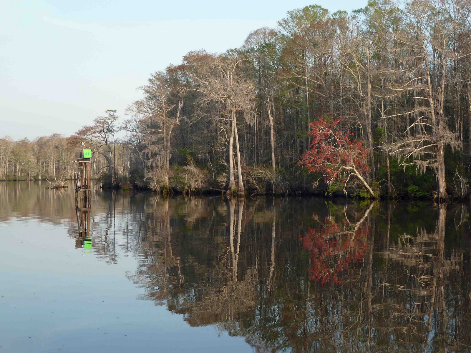
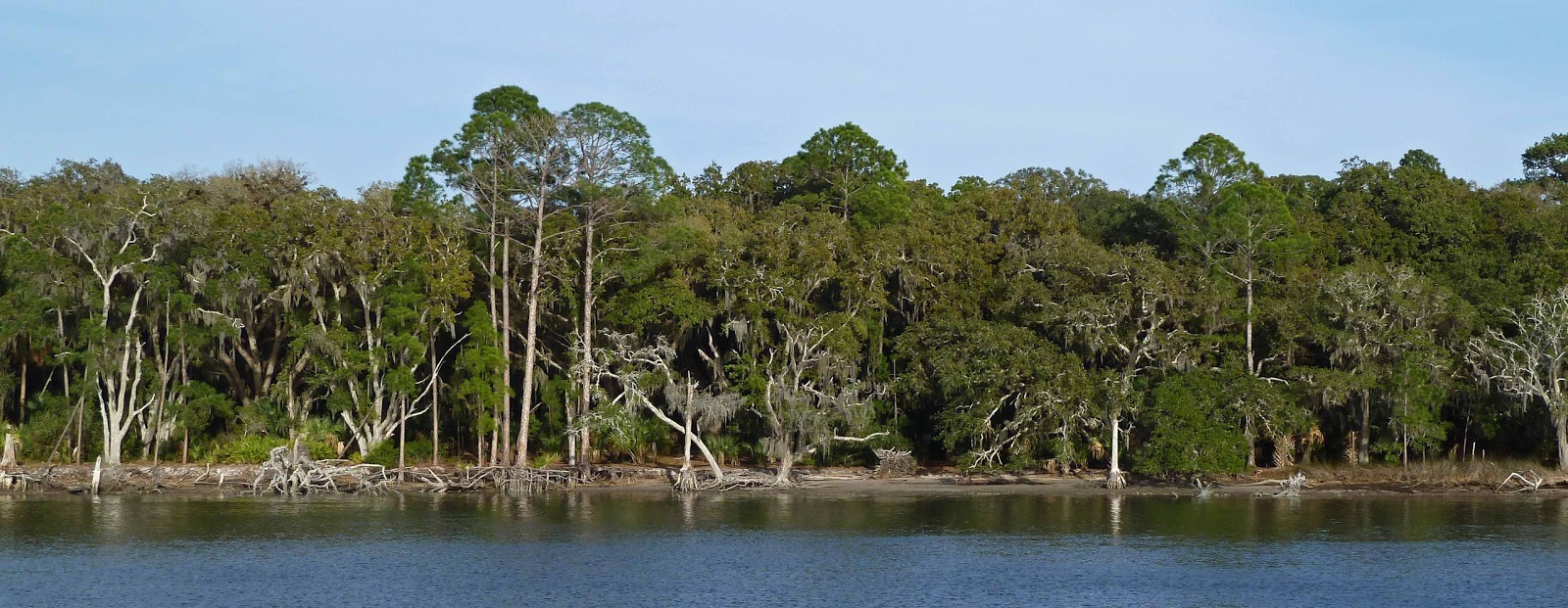
The coastal geography of Georgia is similar to Florida in that there are a string of barrier islands along the Atlantic coast.  That is the end of the similarities.  The Georgia barrier islands are much farther from the mainland, from two to 20 miles.  There are wide bodies of water, salt marshes, creeks, rivers, and additional islands between.  The spaces between islands are large, sometimes multiple miles wide, creating sounds whose waters can be more like an ocean than an inlet.  Some of the largest barrier islands are reachable only by boat.  Many a cruising writer has stated that they hate traveling through Georgia because they find it boring – seemingly endless salt marshes and forested islands.  We can only assume that they like the changing scenery of the Atlantic Intracoastal Waterway through Ft. Lauderdale where the waterway is lined with differing condos and large homes, all concrete and asphalt without a single a single growing thing.  For us, we prefer the flora and fauna that the natural environment of Georgia provides.


Our first night in Georgia was spent at anchor in the north end of the Brickhill River on Cumberland Island.  This is a favorite spot and we continue to enjoy the nature here.  Our anchorage was just south of the dock on Hawkins Creek where Kim and Steve Hakala dock to visit their home on Cumberland.  We are fortunate to have experienced guided tours of Cumberland by these two graduate biologists.   You don’t realize how many stars are in the sky until you are at anchor in a place like Cumberland where the closest light pollution is miles away.   Carl Sagan was right; there are billions and billions. 


After a bit rocky passage through Jekyll and St. Simons Sounds, we anchored the second night on the Fort Frederica River near the ruins of Fort Frederica.  The British built a fort and town on St. Simons and successfully defended it against the Spanish.  But, the settlement only lasted 15 years.  A small portion of the fort and the foundation of some of the homes is all that remains.  It is a park that is both beautiful and educational.


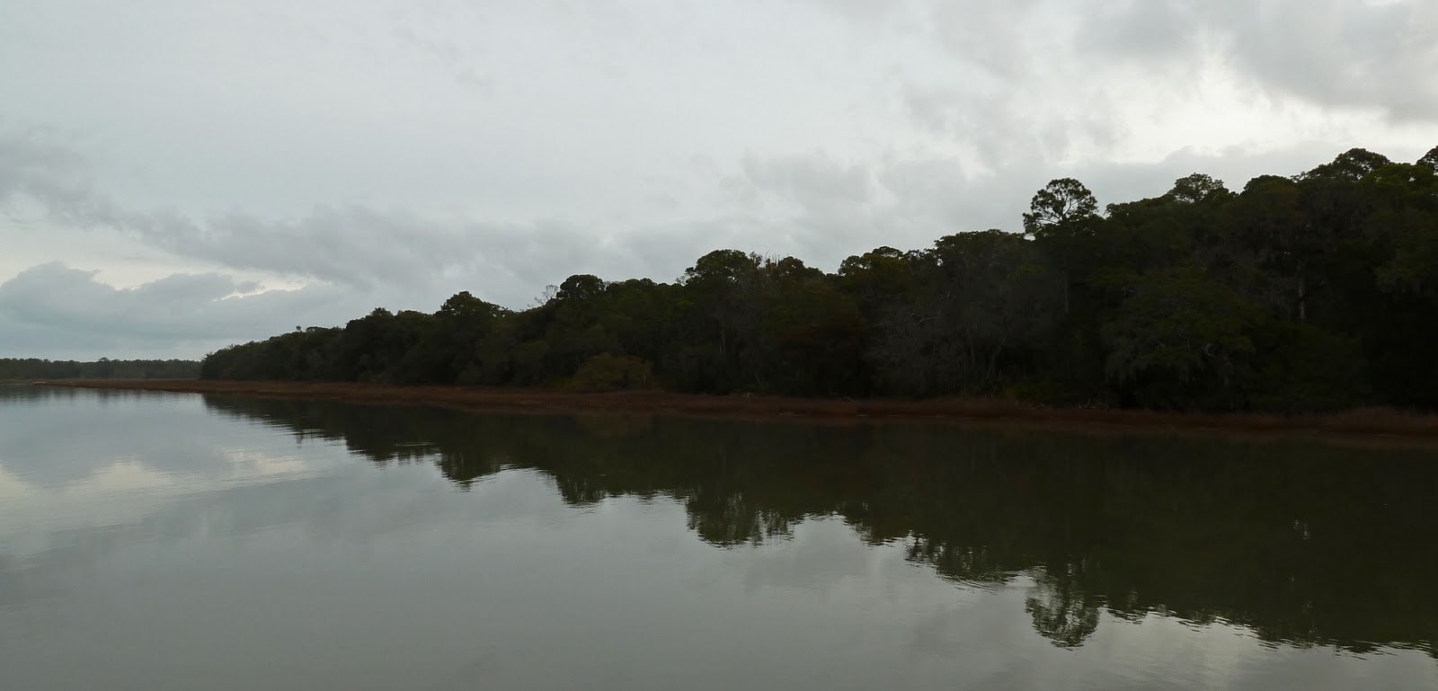
Sapelo Sound had the current running out with the wind coming out of the east.  When the wind opposes the current, it causes the water to wrinkle.  The stronger the current and the stronger the wind, the bigger the wrinkles.  These wrinkles are normally called “sea state” or waves.  The waves were over 4 feet and were right on the nose.  The spray coming over the bow reminded us of those old WWII movies with big battleships plunging into the waves and spray carrying over the top of the ship.  One of the reasons we have a DeFever designed boat is that seas such as these are easy for the boat to handle.  The limiting factor on large waves is determined by the crews’ stomachs, not the capability of the boat.  The evening was another quiet one, spent at anchor on Walburg Creek next to St. Catherines Island, with the island providing shelter from the wind.  By morning the waters were calm.


Critters are always interesting, but dolphins seem to create a special experience that is indescribable.  People are drawn to dolphins.  There seems to be a communication.  Whenever a dolphin heads toward the boat we have to see if it is going to take a ride in the bow wake.  Some dolphins have ridden alongside the boat for miles.  Jill has a high-pitched voice she uses to talk to the dolphins and they seem to respond by rolling on their side and looking up at her.  In the photo on the left, Jill is communicating with a dolphin, and if you look closely, you can see another one, in the upper right-hand corner of the image, heading toward the boat.  It joins the first and Jill signals that 2 dolphins are in the wake.

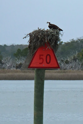
Ospreys prefer to build their nests in the top of dead trees, and a navigational day marker must look much like a dead tree to them.  They become used to boats passing by and later in the Spring little one's heads will be visible.

All through Georgia we were accompanied by seagulls, particularly Laughing Gulls.  As we approached St. Andrews Sound with a 25 knot headwind, the gulls were able to draft the boat and just soar behind us.  NASCAR drivers were not the first to learn about drafting. Sometimes there were so many birds following us that it appeared to be a scene from a Hitchcock movie.


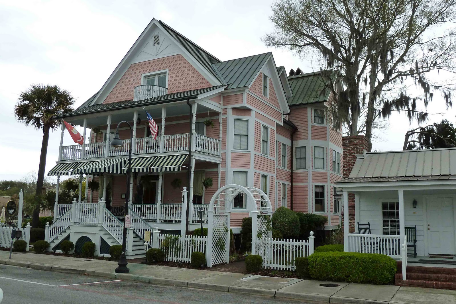
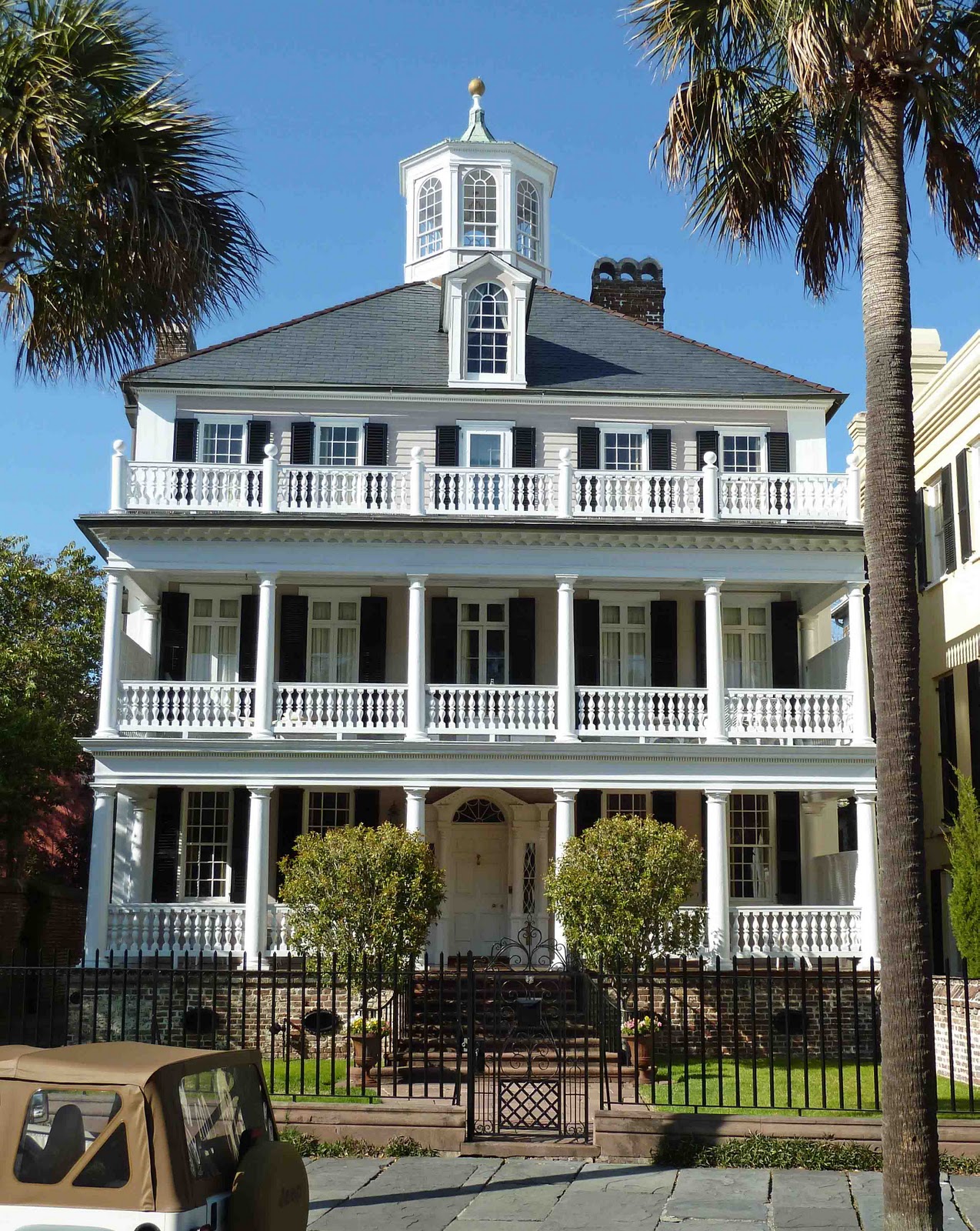
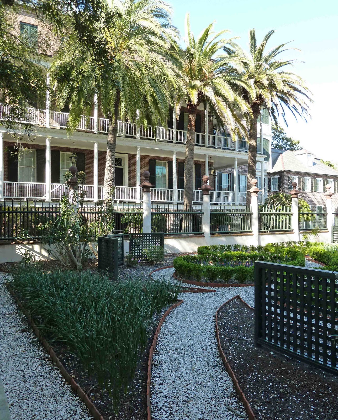
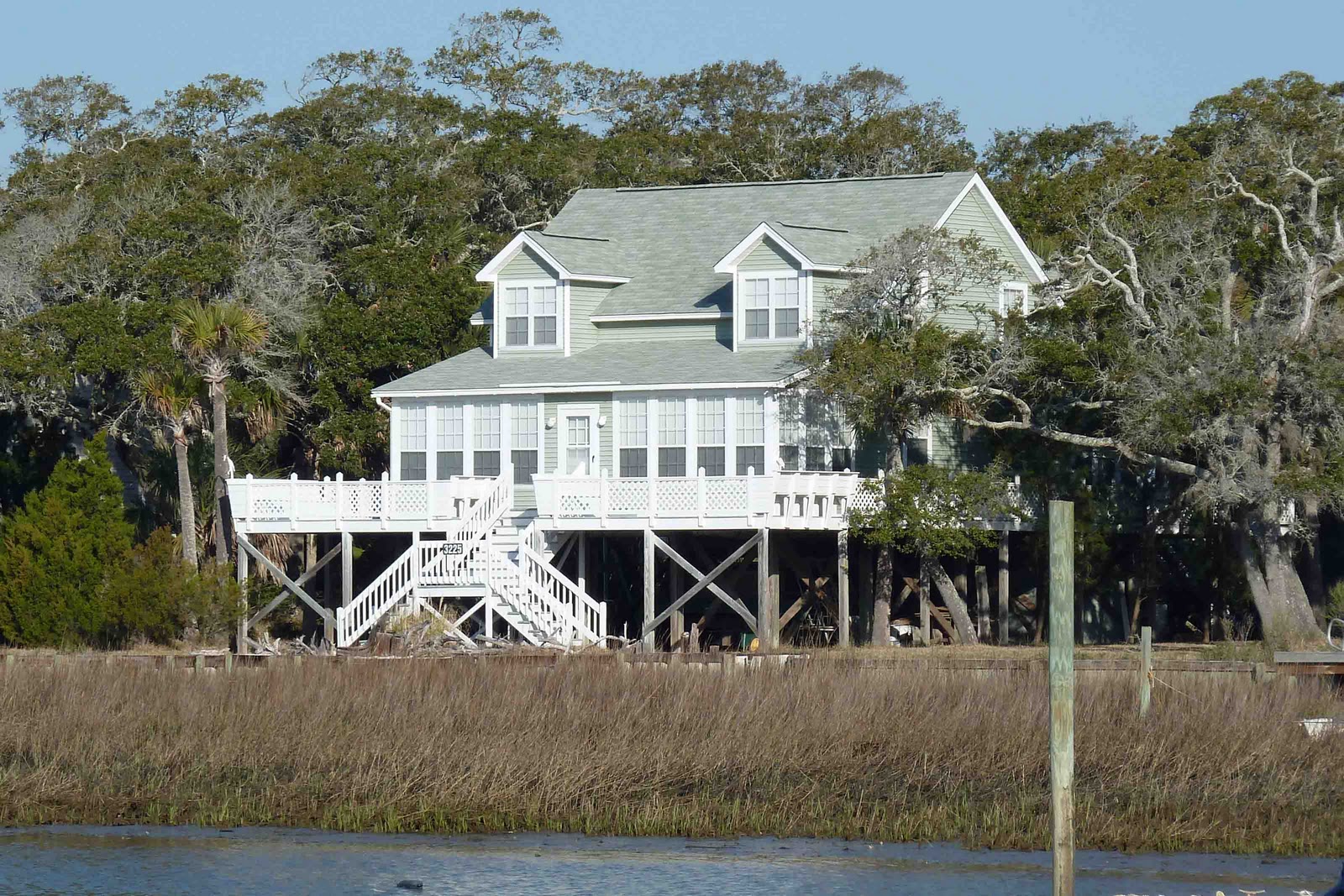
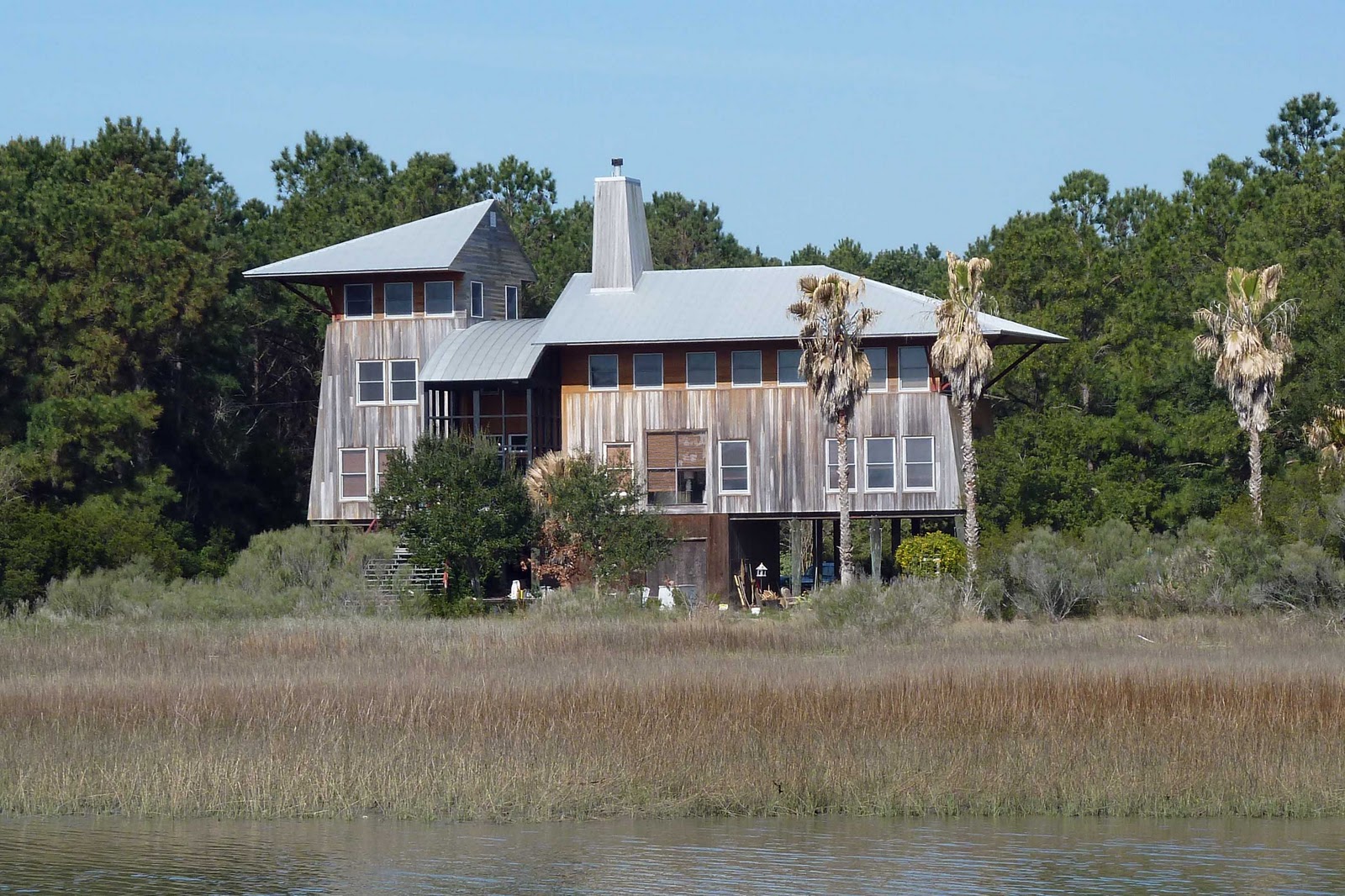
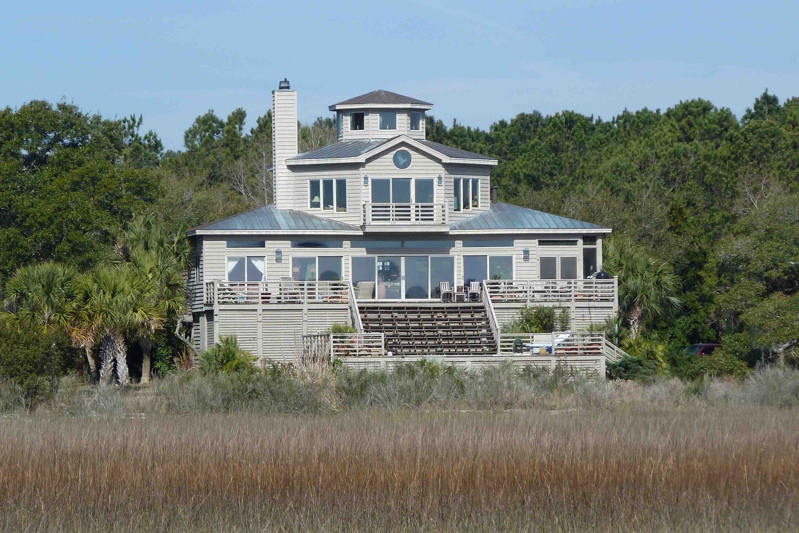
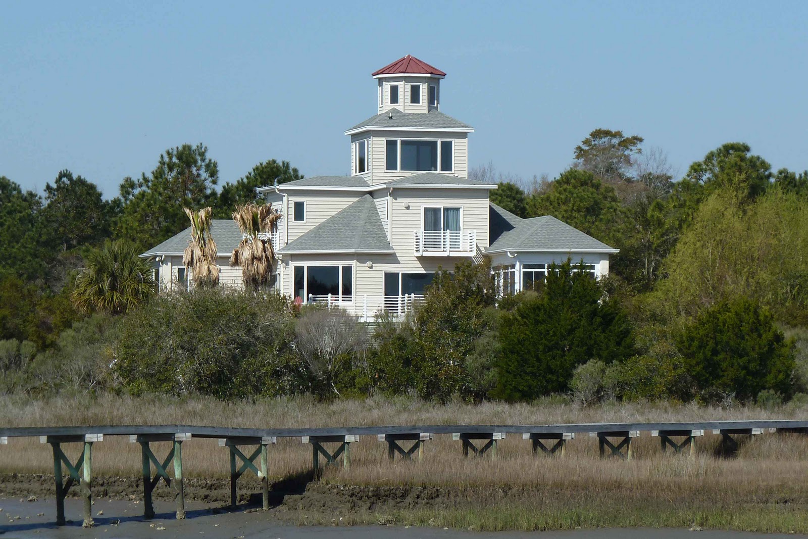
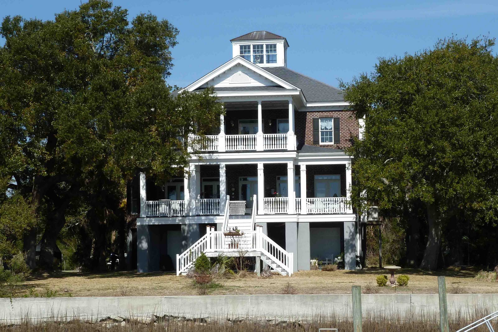
Between Brunswick and Savannah, there are a number of houses built on spoil islands.  These islands were created when the Intracoastal was dredged and the dredgings (spoil) were pumped into a spot in the marsh.  We have never seen any sign of privately owned spoil islands in Florida, but this section of Georgia had quite a few.  Most have little fishing shacks with a dock, appearing to be rustic weekend hide-a-ways.  But, a couple were grand homes on very small and very low pieces of dry land.  Big house/small island.


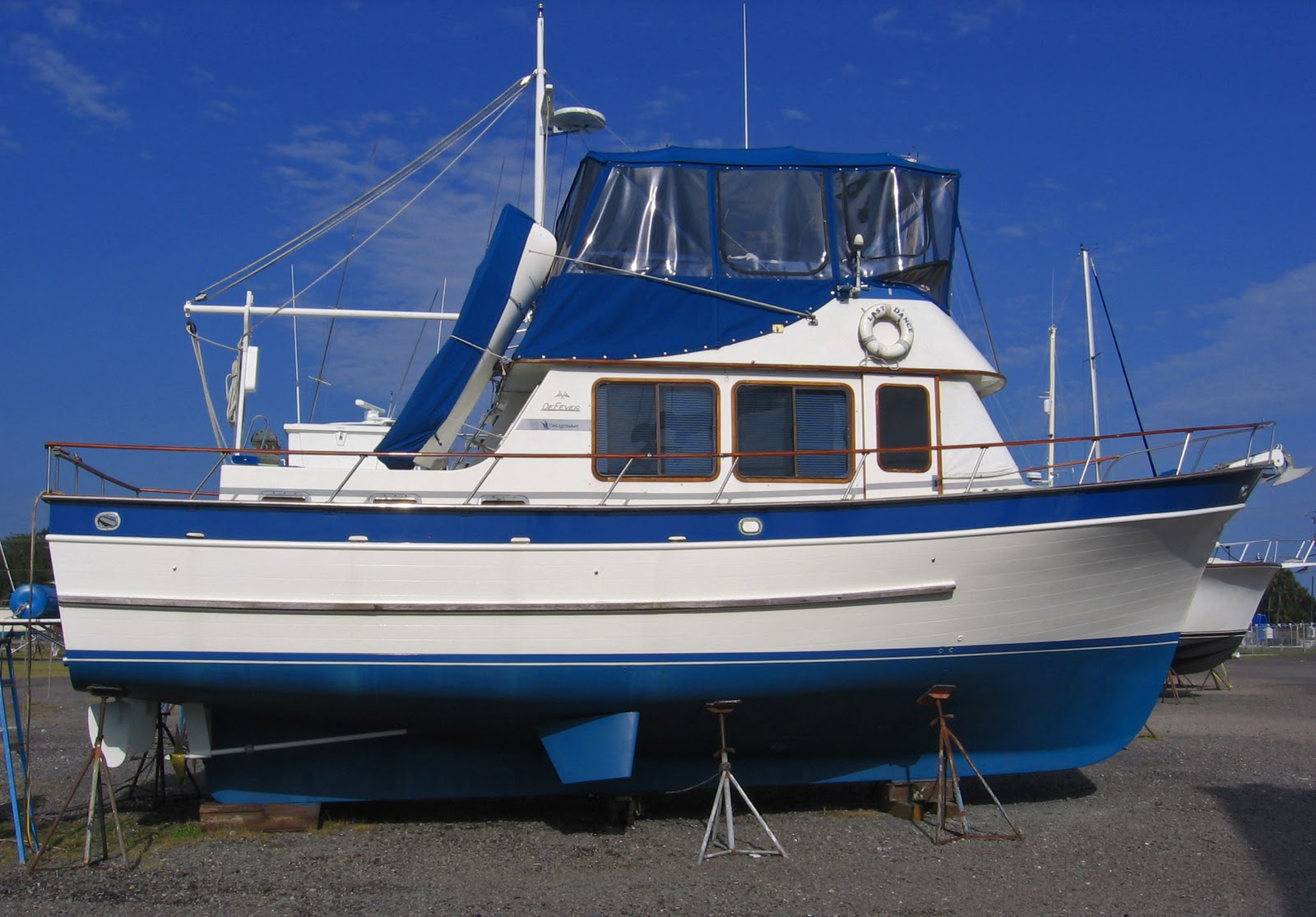
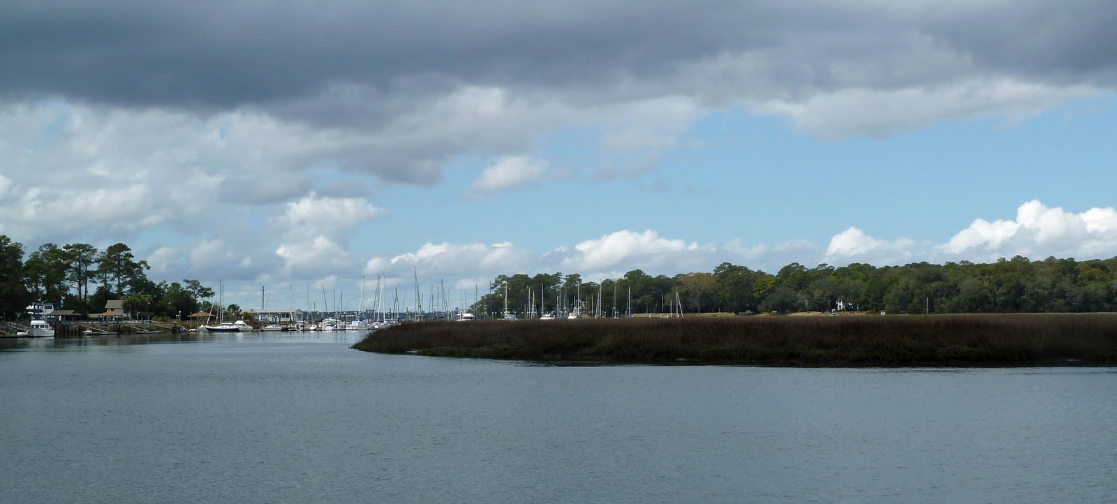
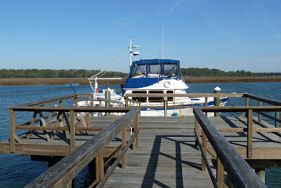
Next stop was near Savannah, where we spent a few days on Taylor Creek at a new friend’s dock behind his house.  Steve Westgate is also planning to cruise the Great Loop this year and offered the use of his private dock for Last Dance.  It was a very secure place to leave the boat as we had to make a trip to Clearwater for a doctor’s appointment.  Last Dance is pictured at the Westgate dock below.  The first thing a boater looks for when coming back to his/her boat is to see if it is still floating.  Now, look at the second picture.  Could be a bit scary if we didn’t know that the tides in this area are over 7 feet. 


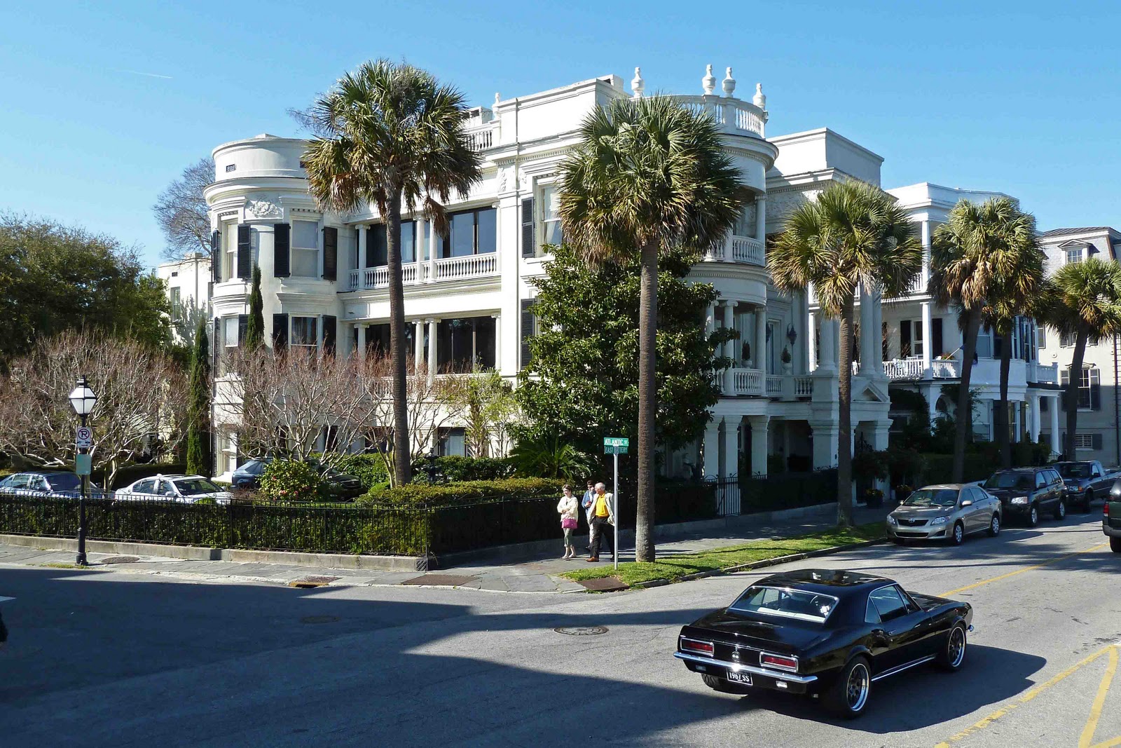
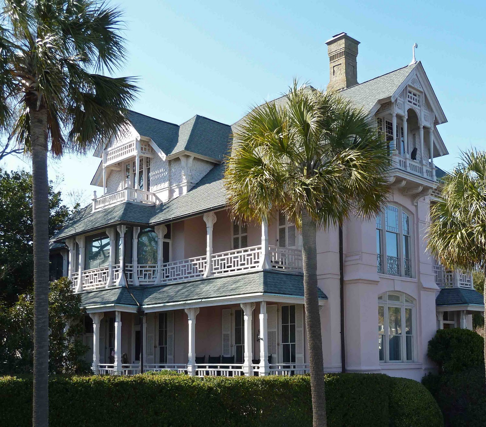
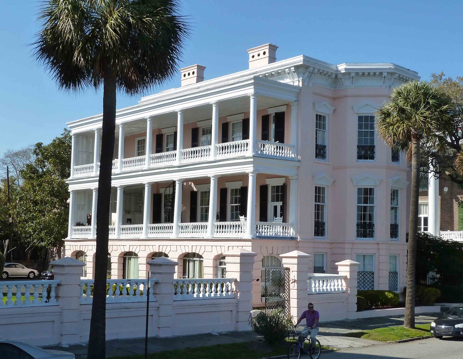
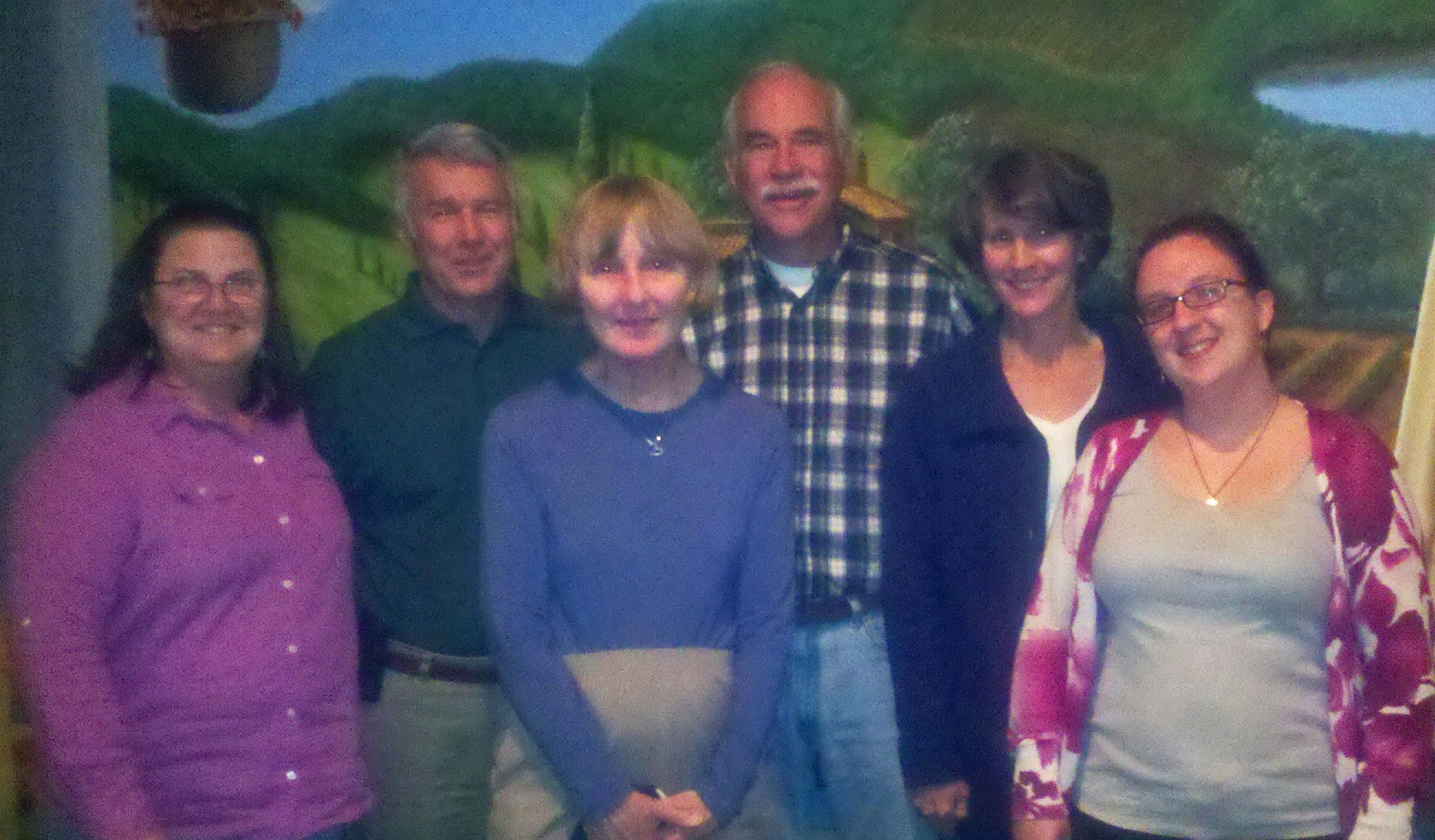
We also met Bruce and Jeanne Elder, who completed the Great Loop in 2007, spending two years on the trip.  They said it was foolish to do it so quickly by only spending one year on the trip.  To provide an opportunity for conversation, they drove us to the Sundae Café on Tybee Island, a restaurant located in an old, small strip mall between a BP gas station/convenience store and a liquor store.  We had one of the best meals in our experience.  Outstanding seems much too tame a word to describe the food.  Jill had another great version of shrimp and grits to add to her collection.  Put the Sundae Café on your list and next time you visit Savannah, take a drive out to Tybee Island to experience this culinary delight.  Reservations necessary.  Our final evening in Savannah, Steve and Beth took us to an interesting Greek restaurant.  Forgot the camera and the lens on the phone camera must have been badly smudged, but below are Beth, Steve, Barbara Dein (previous owner of Last Dance who was visiting Savannah) your blog hosts and Rebecca Westgate, Steve and Beth’s daughter.  One of the great things about traveling by water is the great people you get to meet -- a journey is not measured by the miles you make; it is measured by the friends you make along the way.